New Engagement of High Resolutions Imaginary of ALOS-2/ALOS and AW3D in Sri Lanka
GeoEDGE has taken a step ahead in the Sri Lankan market to providing satellite images with the engagement of providing high-resolution satellite imaginary of Advanced Land Observing Satellite-2 “DAICHI-2” (ALOS-2) and Advanced Land Observing Satellite “DAICHI” (ALOS) launched by Japan Aerospace Exploration Agency (JAXA). The agreement was signed with the licensed agency of JAXA products distribution and sales partner, Remote Sensing Technology Center of Japan (RESTEC) on the 1st of November 2016.
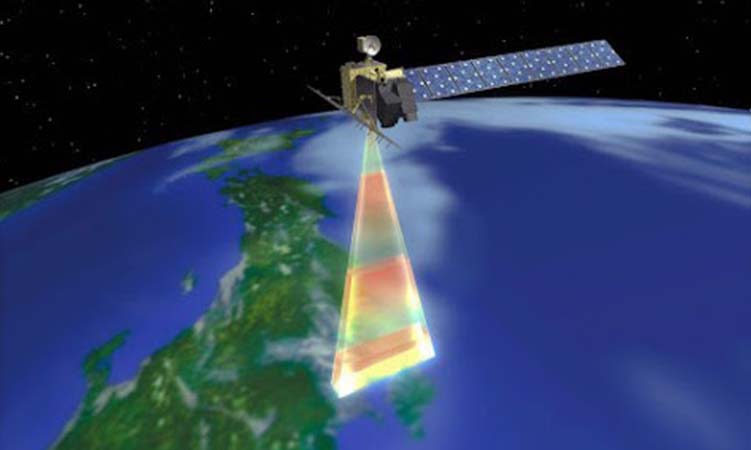
 ALOS-2 provides High resolutions data (3 to 10m with 50 t0 70 km swath) under the several observation modes such as Spotlight, Stripmap, and ScanSAR with different processing levels and formats. The mission objectives of ALOS – 2 is Disaster Monitoring, Land and Agricultural Monitoring, Natural Resource Exploration, Global Forest Monitoring and Maritime Safety etc.

The mission objectives of the ALOS are regional observation, disaster monitoring, and resource surveying. It captures data using three types of sensors such as PRISM, AVNIR-2 and PALSAR.
 AW3D provides the world’s first 5m resolution DEM covering all global land spaces on the shelf and provides a higher resolution 3D map with Digital Globe’s satellite imagery. AW3D has a variety of lineup with 0.5m – 5m resolution of DSM/DTM. Customization for user’s requirements can be applied flexibly. AW3D has been used for a wide range of applications over 73 countries. It is used for disaster prevention, urban planning, engineering, natural resources, the environment, etc.
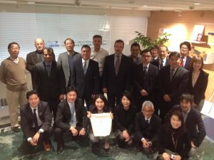
Annual distributors meeting in Japan 2017
![]()