Training Officers for Use of Data Collected for Disaster Exposure Mapping in Kalutara, Ratnapura and Galle Districts – Sri Lanka
Training Completion Note
The World Bank’s Climate and Disaster Risk Management Unit work with governments to improve the resilience of the society. Among various approaches, the World Bank facilitates the creation of exposure datasets to empower governments’ decisions-makers with better information and planning tools to increase resiliency. In Sri Lanka, the World Bank, with a request from the Government, work with DMC in particular, to strengthen the national geospatial database, aiding line ministries to lead and navigate risk informed sector development.
This assignment complemented this effort by developing additional exposure datasets for the prioritized vulnerable districts that become part of the Government’s geospatial database. In particular, it was a pilot mapping initiative that helped National Disaster Relief Services (NDRSC) test efficient building damage assessment mechanism aiming to contribute to enhancement of efficiency of post-disaster payout operations under the National Natural Disaster Insurance Scheme (NNDIS) managed by the National Insurance Trust Fund (NITF).
1. TRAINING
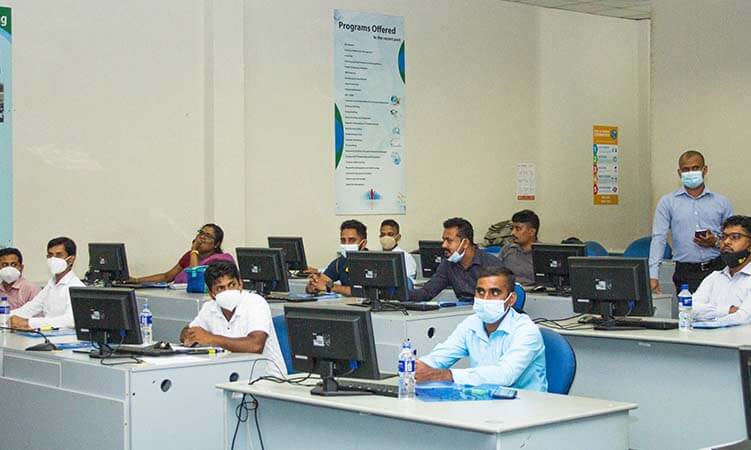
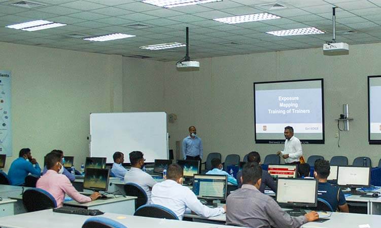
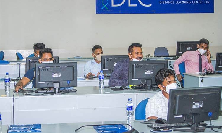
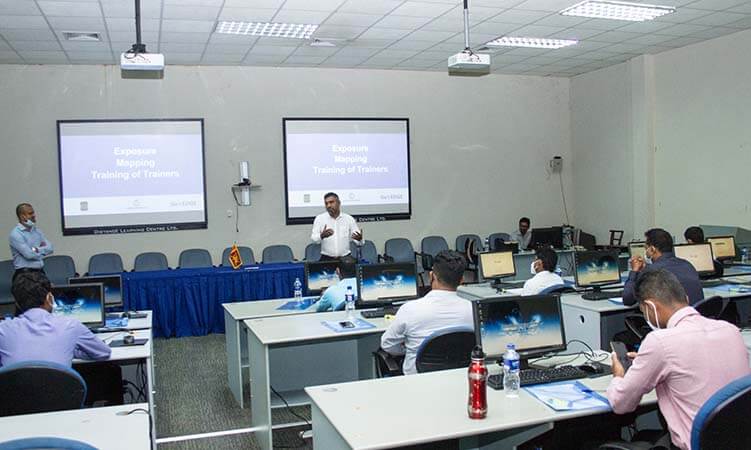
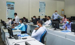
The OpenStreetMap (OSM) and QGIS training was conducted by two experienced experts who have been in the GIS industry, working with numerous projects and trainings. The training was designed in a way to increase the knowledge capacity and to provide the trainees with the knowledge to be able to train other individuals with the subject matter (Train-the-Trainer).
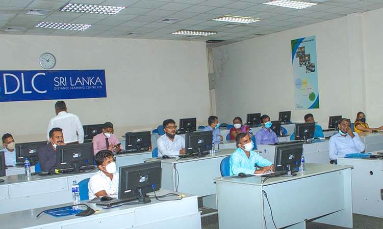
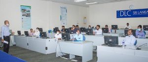
The sessions included both theoretical and practical sessions to help guide the trainees to be able to use the knowledge gathered in a more practical manner.
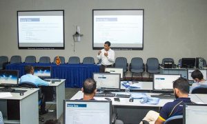
Some of the subject matters includes the basic foundation of OpenStreetMap and QGIS, data collection methods, how to create their own data sets with OpenStreetMap, how to share/upload digitized data in to OpenStreetMap platform, how to create maps, thematic and analytical and projections to name a few.
By customizing the training to include their own data sets / examples from their own areas of work, trainees had a better understanding of the work process and how best to use the training given.
2. PARTICIPANT STORIES
Upon conclusion of the training, we conducted a Training Evaluation from the participating members to identify and improve the training program where needed.
Participants cherished the opportunity given to them to understand the importance of the OpenStreetMap and QGIS in their daily work capacity.
It became evident to them that by using the technologies available, would reduce the work load and increase the accuracy of their work.
The workshop also provided a knowledge transfer where the NDRC and DMC officers shared their stories and situations faced.
3. LESSON LEARNED
While participants liked and appreciated the training opportunity given and was happy with the training, the main concern was the time duration of the training.
Most participants felt that they needed more time in absorbing the content and would prefer a lengthier program.
While this would be depended on the trainees initial capacity, and the knowledge absorption rate, it was clear that the trainees lacked the basic knowledge prior to the attendance of the training.
4. RECOMMENDATIONS
Recommendations are based on our experience working in the sector and with the recent Exposure Mapping project and its training:
- Increase the duration from 5 days to 8-10 days.
- Encourage the participants to self-study about the subject matter prior to the start of the training by providing them with certain material (basic material) to be reviewed.
- Increase the frequency of the training to focus on the key subject matters and technical challenges they are facing on the day-to-day operations.
- Extend the training sessions to other NDRSC officers situated in other districts (prioritizing high exposure areas) to increase the knowledge base to batter facilitate the NDRSC operations.
- Connecting NDRSC officers input with other disaster management stakeholders such as DMC staff, development officers etc. by holding knowledge share workshops.